From Anchorage, AK
(will I ever write fast enough to keep you with me in the moment?)
7-22-2019
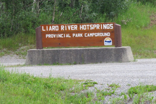
Whitehorse, YT
Whitehorse is a major stop in the Yukon Territories. We ‘camped’ nose to tail again (a method that pretty much forces folks to explore the area because the campground is utilitarian and not resort-like at all). Whitehorse is named for the whitecaps that in winter freeze hard in the Yukon River. They are said to look like the manes and tails of white horses rearing and prancing. I’m grateful to have, so far in my life, avoided Whitehorse in the winter.
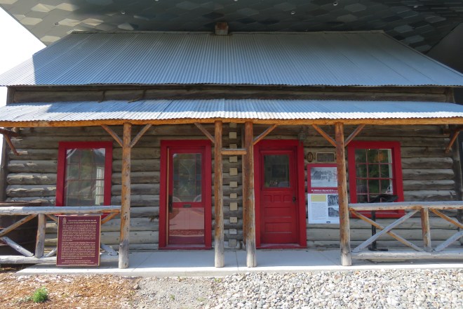
Whitehorse is an up and coming area filled with oil and gas workers and service folk providing shopping, restaurants and arts to sourdoughs and visitors alike. The town is small and sports a Canadian Superstore (Super Walmart-ish), Walmart, a wonderful museum and several historic buildings to visit.
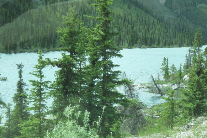
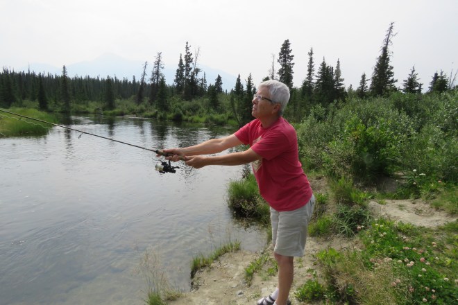
The Yukon River was flowing at a clip that didn’t seem fishable but since we were told that there were fish to be caught, several of us licensed up and hit the river. It was nice wading out in to cast and play in the river. The water wasn’t super cold, chilly but not numbing. We caught no fish, but the time spent was lovely. No photos, sorry, we were all fishing.
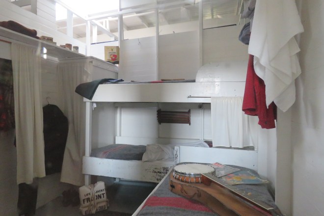
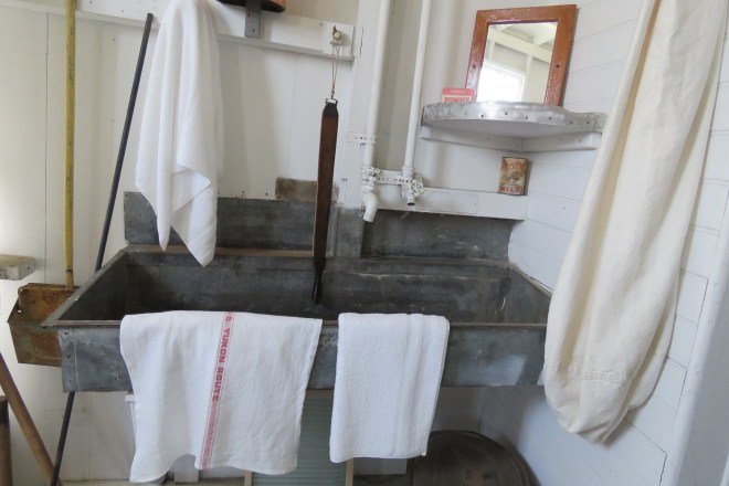
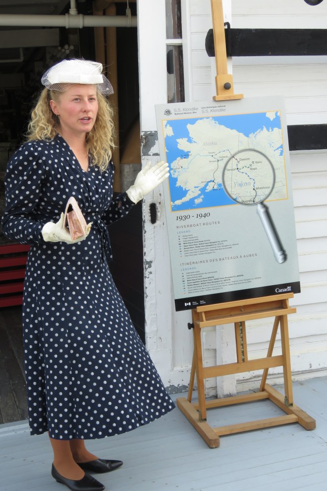
Our group visited the SS Klondike Historic Site and learned about the flat bottomed paddle wheelers that plied the Yukon ferrying supplies and resources north and south. It was certainly a perilous trip threading through giant fingers of rock dividing the river with the danger of snags, gravel bars and fire ever present. Photos are better teachers than I, The huge carts of wood would fuel the Klondike for about an hour. Since only so much wood could be carried, the boat had to pull to shore to reload frequently with one man carting the wood down to the boat! This was gold rush time so gold and other minerals were brought downriver for smelting. Each bag of over 110# was handled by individual men eleven times from the mine to the smelter, moving from place to place. Folks worked hard for little pay in those days – most hoping to strike it rich on their own claims.


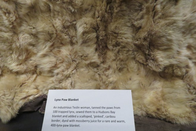
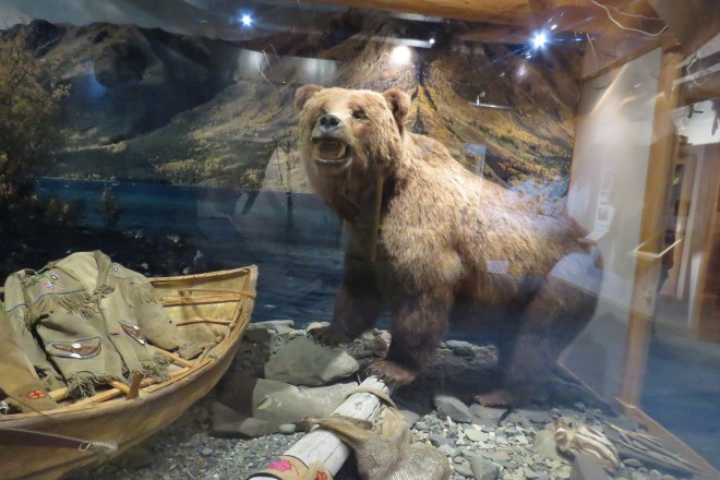
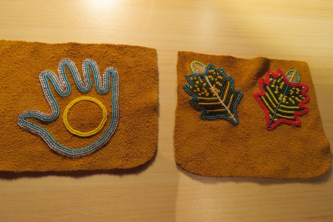
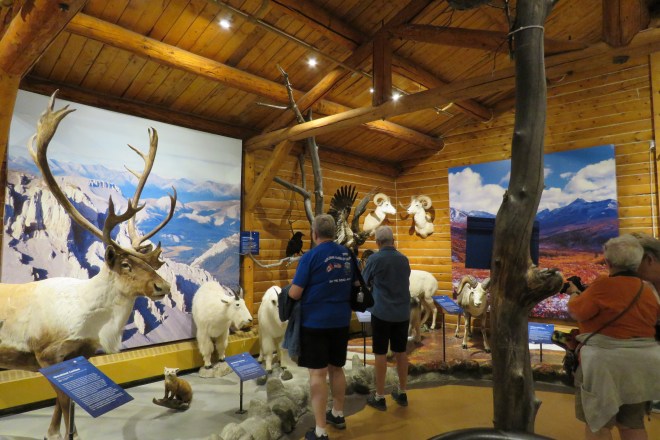
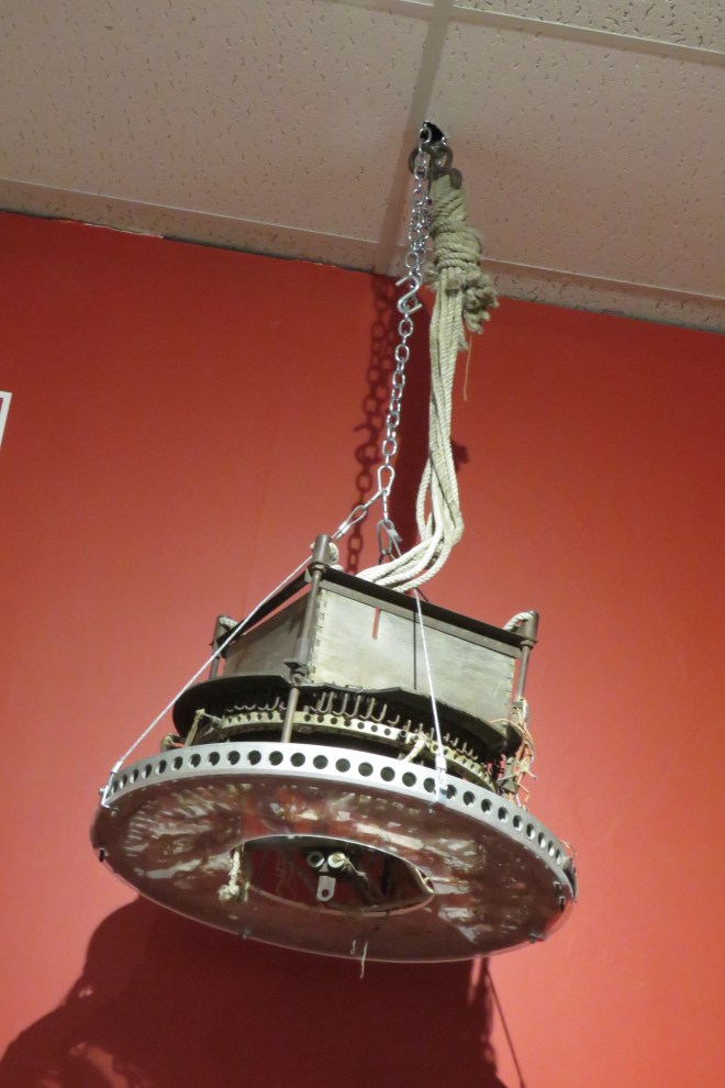
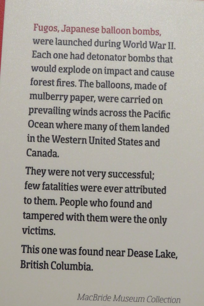
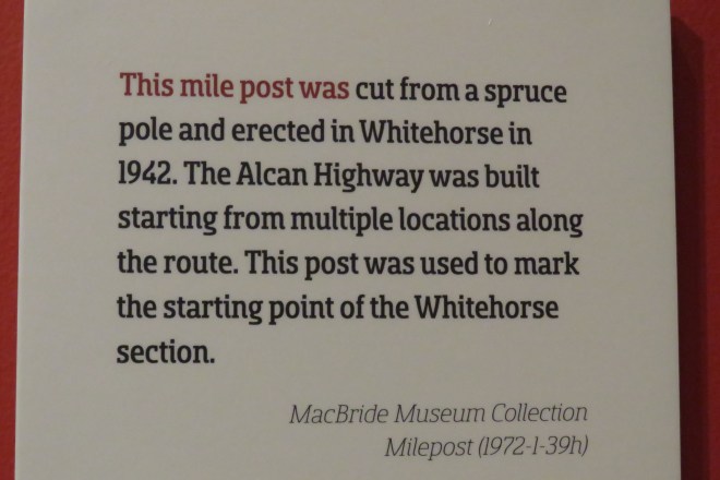
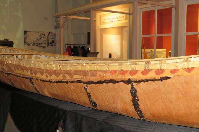
We also visited the MacBride Museum – this new facility is filled with explanations of life for regular folks. There are quite a few dead animals beautifully mounted in one room. Examples of a house, telegraph and radio office, a mining claim, and in the basement is a very nicely displayed history of building the Alcan Hwy. By this time, we’d seen many of the photos and read much of the story at other museums – still I have to share a couple pics with you…
Barb is wearing a buffalo overcoat – it took both of us to lift it off the rack! Those things were HEAVY! Folks were stonier back then as well as being incredibly hard workers.


There are many places we couldn’t fit in – the Old Log Church Museum, Yukon Beringia Interpretive Center (mammoth fossils) and the Yukon Visitors Center. The old saying that “So much to do – so little time” is certainly true!
Destruction Bay, YT
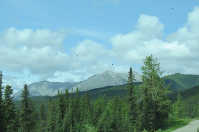
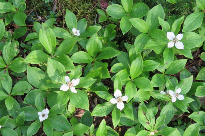
Next drive was up the road into increasing smoke and haze. Destruction Bay, YT – so named for a storm on the lake that blew in and destroyed an Army Camp building the Alcan Hwy. The owner of our overnight stop is a sourdough who has lived there for years. He moves a bit south in the winter these days but had a great history presentation of the area. Loren is quite a character! Some of us went on a walk past the local curling barn to the lake and enjoyed the beautiful rocks, flowers and birds.
The next leg of our trip earned a red pen notation in my log book: HORRENDOUSLY BAD ROAD! Frost heaves up here resemble canyons and rolling hills! Most of the road has been gravel (we put yoga mats over our car windows to prevent them being smashed by oncoming cars and our own thrown rocks). We’ve slowed down and pulled to the far right side when trucks came barreling toward us and still… Barb and I got a starburst chip in the RV windshield.
Aside
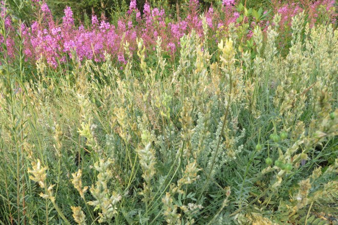
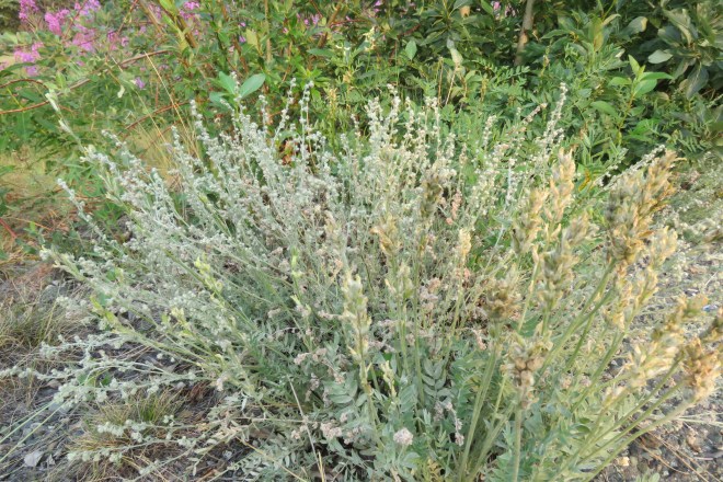
Let me explain something about Adventure Caravan’s travel days. Our guests leave the park within a time frame, we say Wagon Master out at 7 am, Tail Gunner out at 9 am, for instance. Guests leave within that frame of time. Some travel within sight of each other, others alone. Being Tail Gunners, Barb and I are last to leave and putter along taking in sights along the way and often meeting up with the gals on this trail or that milepost. Fireweed is pervasive. I love it’s neighbors and friends.
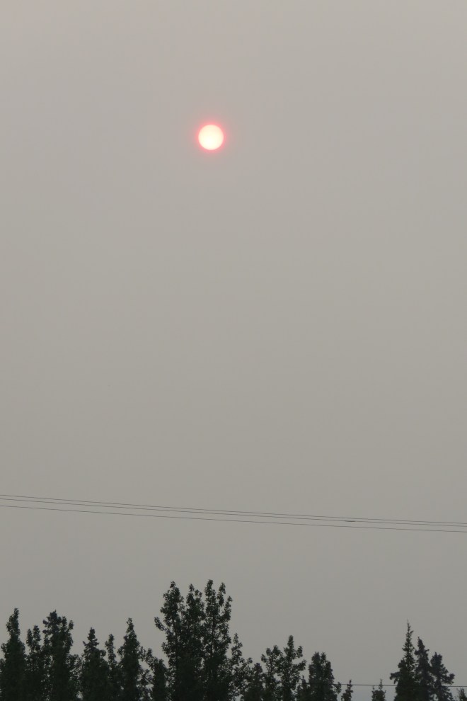
Some of our puttering along pics… We drove through burning trees (for the second time in our lives together…).


Something else I’d like to share – we prepare meals for our guests frequently. Nothing earth shattering, well… kind of fabulous because we make really good food. I’ve been responsible for making meals for our Vegetarian/Vegan guests and have been delighted to please folks with good tasting food (quite a number of meat eaters have gone in for the non-meat options). You know how I love that!
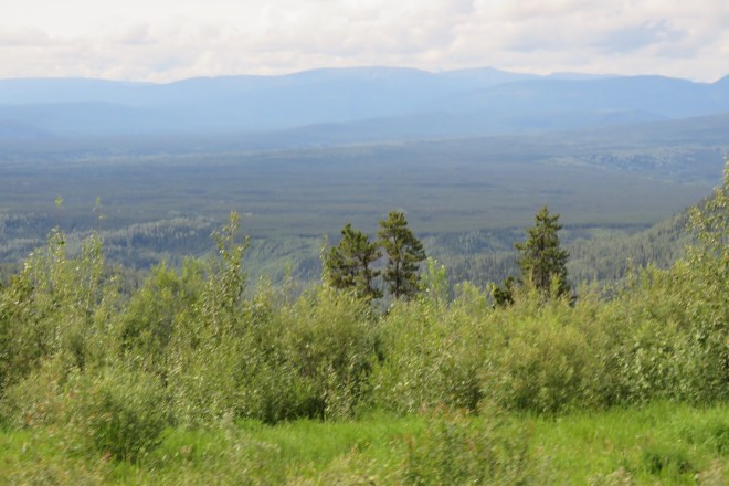
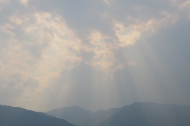
We passed through US Customs and Immigration to finally land in ALASKA at TOK (pronounced tōke), along the Tanana River. It would take a better person than I to share the amazing landscape and incredible rivers accurately with you! I don’t know enough words even. With the smoke, vistas have been obscured and still the things we can see are incredible.
Breathe friends and don’t forget to ask someone for a “Minute” and have a 60 sec. long hug (no expectations, just relax into it).